


RJFR - Kitakyushu
Located in Kitakyushu, Japan
ICAO - RJFR, IATA - KKJ
Data provided by AirmateGeneral information
Coordinates: N33°50'44" E131°2'6"
Elevation is 21 feet MSL.
View others Airports in Fukuoka Prefecture
Operational data
Special qualification required
Current time UTC:
Current local time:
Weather
METAR: RJFR 132200Z 02003KT 350V060 9999 FEW030 15/12 Q1016
TAF: TAF RJFR 131705Z 1318/1500 13005KT 9999 FEW030 BECMG 1406/1409 07004KT
Communications frequencies: [VIEW]
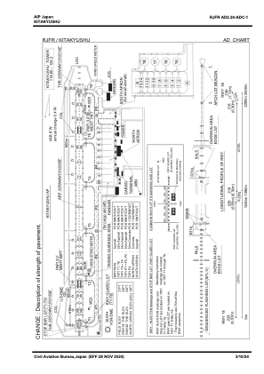
Runways:
| RWY identifier | QFU | Length (ft) | Width (ft) | Surface | LDA (ft) |
| 18 | 170° | 8202 | 197 | ASP | |
| 36 | 350° | 8202 | 197 | ASP |
Airport contact information
Address: Kitakyushu Japan