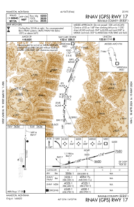


KHRF - Ravalli County
Located in Hamilton, United States
ICAO - HRF, IATA -
Data provided by AirmateGeneral information
Coordinates: N46°15'26" W114°7'26"
Elevation is 3635 feet MSL.
Magnetic variation is 13° East View others Airports in Montana
Operational data
Special qualification required
Current time UTC:
Current local time:
Weather at : KMSO - Missoula Montana ( 73 km )
METAR: KMSO 280003Z 28010KT 5SM -RA BR FEW028 FEW033 OVC042 09/07 A2990 RMK AO2 P0000 T00940072
TAF: KMSO 272335Z 2800/2824 25005KT 6SM -RA BKN035 OVC050 FM281100 VRB03KT 4SM BR OVC020 FM281800 00000KT P6SM VCSH BKN050
Communications frequencies: [VIEW]
Runways:
| RWY identifier | QFU | Length (ft) | Width (ft) | Surface | LDA (ft) |
| 17 | 181° | 5200 | 75 | ASPH | |
| 35 | 1° | 5200 | 75 | ASPH |
Airport contact information
Address: Hamilton United States