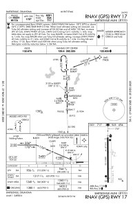


KBVO - Bartlesville Muni
Located in Bartlesville, United States
ICAO - BVO, IATA - BVO
Data provided by AirmateGeneral information
Coordinates: N36°45'48" W96°0'40"
Elevation is 716 feet MSL.
Magnetic variation is 03° East View others Airports in Oklahoma
Operational data
Special qualification required
Current time UTC:
Current local time:
Weather
METAR: KBVO 162253Z AUTO 18006KT 10SM BKN100 23/17 A2979 RMK AO2 SLP078 T02330172
TAF: KBVO 161728Z 1618/1718 26011KT P6SM VCSH SCT050 BKN100 BKN250 FM170100 00000KT P6SM BKN060 BKN250 TEMPO 1710/1714 4SM BR BKN015 FM171400 08004KT P6SM BKN050
Communications frequencies: [VIEW]
Runways:
| RWY identifier | QFU | Length (ft) | Width (ft) | Surface | LDA (ft) |
| 17 | 179° | 6850 | 100 | CONC | 6201 |
| 35 | 359° | 6850 | 100 | CONC | 6201 |
Airport contact information
Address: Bartlesville United States