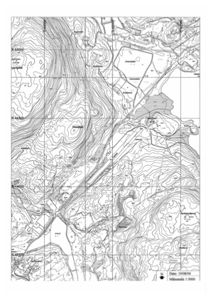


ENUL - Vaksinen
Located in Ulven, Norway
ICAO - ENUL, IATA -
Data provided by AirmateGeneral information
Coordinates: N60°11'29" E5°25'14"
Elevation is 180 feet MSL.
Magnetic variation is 1.5° East View others Airports in Hordaland
Operational data
Special qualification required
Current time UTC:
Current local time:
Weather at : ENBR - Flesland ( 16 km )
METAR: ENBR 211120Z 23005KT 190V280 CAVOK 23/09 Q1019 BECMG 33010KT RMK WIND 1200FT 13006KT
TAF: TAF ENBR 210500Z 2106/2206 VRB03KT CAVOK BECMG 2109/2111 22010KT BECMG 2113/2115 34010KT BECMG 2120/2122 13005KT
Communications frequencies: [VIEW]
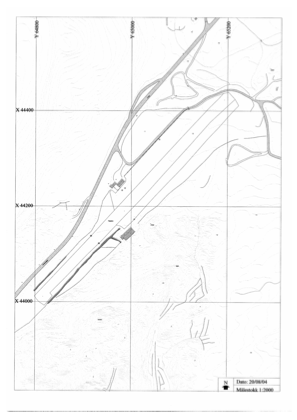
Runways:
| RWY identifier | QFU | Length (ft) | Width (ft) | Surface | LDA (ft) |
| 05 | 0° | 1903 | 82 | Grass | |
| 23 | 0° | 1903 | 82 | Grass |
Airport contact information
Address: Ulven Norway