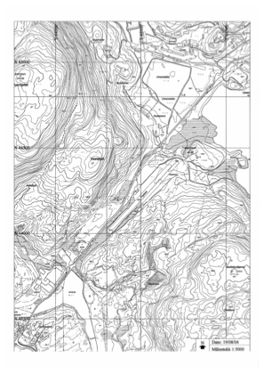


ENUL - Vaksinen
Located in Ulven, Norway
ICAO - ENUL, IATA -
Data provided by AirmateGeneral information
Coordinates: N60°11'29" E5°25'14"
Elevation is 180 feet MSL.
Magnetic variation is 1.5° East View others Airports in Hordaland
Operational data
Special qualification required
Current time UTC:
Current local time:
Weather at : ENBR - Flesland ( 16 km )
METAR: ENBR 292020Z 15016KT 9999 SCT045 10/03 Q1018 RMK WIND 1200FT 15024KT
TAF: TAF ENBR 291700Z 2918/3018 16015KT 9999 FEW020 BKN050 TEMPO 3001/3009 16018G28KT
Communications frequencies: [VIEW]
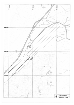
Runways:
| RWY identifier | QFU | Length (ft) | Width (ft) | Surface | LDA (ft) |
| 05 | 0° | 1903 | 82 | Grass | |
| 23 | 0° | 1903 | 82 | Grass |
Airport contact information
Address: Ulven Norway