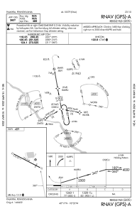


58N - Reigle Fld
Located in Palmyra, United States
ICAO - 58N, IATA -
Data provided by AirmateGeneral information
Coordinates: N40°17'12" W76°34'37"
Elevation is 489 feet MSL.
Magnetic variation is -10° East View others Airports in Pennsylvania
Operational data
Special qualification required
Current time UTC:
Current local time:
Weather at : KMUI - Muir Aaf (Fort Indiantown Gap) ( 17 km )
METAR: KMUI 260455Z AUTO 04004KT 10SM CLR 06/03 A3034 RMK AO2 SLP279 T00630033 401560042
TAF: TAF KMUI 260300Z 2603/2709 00000KT 9999 SKC QNH3028INS BECMG 2614/2615 VRB06KT 9999 SCT060 QNH3032INS TX15/2620Z TN07/2608Z LAST NO AMDS AFT 2604 NEXT 2611
Communications frequencies: [VIEW]
Runways:
| RWY identifier | QFU | Length (ft) | Width (ft) | Surface | LDA (ft) |
| 13 | 117° | 1955 | 40 | ASPH | |
| 31 | 297° | 1955 | 40 | ASPH |
Airport contact information
Address: Palmyra United States
