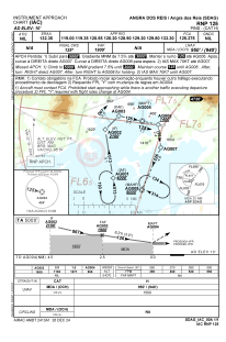


SDAG - Angra Dos Reis
Located in Angra Dos Reis, Brazil
ICAO - SDAG, IATA -
Data provided by AirmateGeneral information
Coordinates: S22°58'31" W44°18'26"
Elevation is 9 feet MSL.
Magnetic variation is -22.614141222° East View others Airports in Rio de Janeiro
Operational data
Special qualification required
Current time UTC:
Current local time:
Weather at : SBSC - Campo Nero Moura ( 60 km )
METAR: SBSC 020000Z 35003KT CAVOK 24/23 Q1012
TAF: TAF SBSC 012100Z 0200/0212 36008KT 9999 SCT030 TN23/0207Z TX30/0212Z RMK PFP
Communications frequencies: [VIEW]
Runways:
| RWY identifier | QFU | Length (ft) | Width (ft) | Surface | LDA (ft) |
| 10 | 0° | 2995 | 98 | ASPH | |
| 28 | 0° | 2995 | 98 | ASPH |
Airport contact information
Address: Angra Dos Reis Brazil