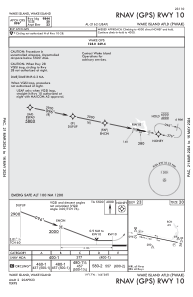


PWAK - Wake Island Airfield
Located in Wake Island,
ICAO - AWK, IATA - AWK
Data provided by AirmateGeneral information
Coordinates: N19°16'57" E166°38'12"
Elevation is 23 feet MSL.
Magnetic variation is 06° East View others Airports in Wake Island
Operational data
Special qualification required
Current time UTC:
Current local time:
Weather
METAR: PWAK 022055Z AUTO 06009KT 5SM HZ CLR 28/20 A2992 RMK AO2 SLP138 T02790196 52013
TAF: TAF PWAK 021400Z 0214/0320 06013KT 9999 SCT025 BKN050 QNH2988INS TX31/0223Z TN24/0302Z FOR MIL USE ONLY
Communications frequencies: [VIEW]
Runways:
| RWY identifier | QFU | Length (ft) | Width (ft) | Surface | LDA (ft) |
| 10 | 102° | 9844 | 150 | ASPH | |
| 28 | 282° | 9844 | 150 | ASPH |
Airport contact information
Address: Wake Island