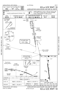


KMGW - Morgantown Muni/Walter L Bill Hart Fld
Located in Morgantown, United States
ICAO - MGW, IATA - MGW
Data provided by AirmateGeneral information
Coordinates: N39°38'37" W79°55'3"
Elevation is 1243 feet MSL.
Magnetic variation is -09° East View others Airports in West Virginia
Operational data
Special qualification required
Current time UTC:
Current local time:
Weather
METAR: KMGW 171453Z 00000KT 5SM -RA BR SCT037 BKN080 OVC095 19/16 A2995 RMK AO2 RAB16 SLP134 P0001 60001 T01890161 53010
TAF: KMGW 171140Z 1712/1812 19004KT P6SM SCT060 FM171500 19004KT 6SM -SHRA BKN035 TEMPO 1715/1718 4SM -SHRA BKN025 FM171800 22006KT P6SM VCSH OVC050 PROB30 1718/1722 4SM -TSRA BKN030CB FM180300 18003KT 6SM BR BKN025
Communications frequencies: [VIEW]
Runways:
| RWY identifier | QFU | Length (ft) | Width (ft) | Surface | LDA (ft) |
| 18 | 172° | 5199 | 150 | ASPH | 5199 |
| 36 | 352° | 5199 | 150 | ASPH | 5199 |
Airport contact information
Address: Morgantown United States
