


KLBT - Lumberton Rgnl
Located in Lumberton, United States
ICAO - LBT, IATA - LBT
Data provided by AirmateGeneral information
Coordinates: N34°36'35" W79°3'34"
Elevation is 124 feet MSL.
Magnetic variation is -08° East View others Airports in North Carolina
Operational data
Special qualification required
Current time UTC:
Current local time:
Weather
METAR: KLBT 290656Z AUTO 20005KT 10SM CLR 16/14 A3016 RMK AO2 SLP213 T01560144
TAF: KLBT 290526Z 2906/3006 21004KT P6SM SKC FM290900 VRB03KT 3SM BR SKC TEMPO 2910/2912 00000KT 1 1/2SM BR FM291400 24007KT P6SM SKC
Communications frequencies: [VIEW]
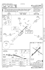
Runways:
| RWY identifier | QFU | Length (ft) | Width (ft) | Surface | LDA (ft) |
| 05 | 45° | 5502 | 150 | ASPH | |
| 23 | 225° | 5502 | 150 | ASPH | |
| 13 | 125° | 5003 | 75 | ASPH | |
| 31 | 305° | 5003 | 75 | ASPH |
Airport contact information
Address: Lumberton United States