


KJHW - Chautauqua County/Jamestown
Located in Jamestown, United States
ICAO - JHW, IATA - JHW
Data provided by AirmateGeneral information
Coordinates: N42°9'12" W79°15'29"
Elevation is 1723 feet MSL.
Magnetic variation is -10° East View others Airports in New York
Operational data
Special qualification required
Current time UTC:
Current local time:
Weather
METAR: KJHW 271156Z AUTO 17016G22KT 5SM RA BR FEW015 BKN049 OVC060 07/07 A3022 RMK AO2 LTG DSNT W SLP242 P0007 60007 70007 T00720067 10117 20072 58008
TAF: KJHW 271208Z 2712/2812 16015G25KT 5SM BR VCTS BKN035CB FM271300 16015G25KT 6SM -SHRA OVC025 FM271500 17017G28KT 6SM -SHRA OVC015 FM271700 17015G25KT P6SM VCSH OVC015 FM280500 19011G18KT P6SM BKN020
Communications frequencies: [VIEW]
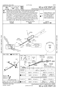
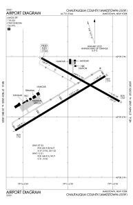
Runways:
| RWY identifier | QFU | Length (ft) | Width (ft) | Surface | LDA (ft) |
| 07 | 59° | 5299 | 100 | ASPH | 5299 |
| 25 | 239° | 5299 | 100 | ASPH | 5299 |
| 13 | 119° | 4499 | 100 | ASPH | 4499 |
| 31 | 299° | 4499 | 100 | ASPH | 4499 |
Airport contact information
Address: Jamestown United States
Other aviation service providers
Flight schools

Jamestown Aviation Company, Llc
Jamestown Aviation Company, Llc
lnalbone@jamestownaviation.com+1(716)665-4800