


KADH - Ada Rgnl
Located in Ada, United States
ICAO - ADH, IATA - ADT
Data provided by AirmateGeneral information
Coordinates: N34°48'15" W96°40'16"
Elevation is 1015 feet MSL.
Magnetic variation is 03° East View others Airports in Oklahoma
Operational data
Special qualification required
Current time UTC:
Current local time:
Weather
METAR: KADH 280355Z AUTO VRB06KT 3SM VCTS RA BR BKN024 OVC032 22/21 A2968 RMK AO2 PK WND 13028/55 LTG DSNT ALQDS P0039 VIS 1 1/4V5
Communications frequencies: [VIEW]
Runways:
| RWY identifier | QFU | Length (ft) | Width (ft) | Surface | LDA (ft) |
| 13 | 135° | 2717 | 50 | OTHER | |
| 31 | 315° | 2717 | 50 | OTHER | |
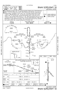
| 18 | 180° | 6203 | 100 | ASPH | |
| 36 | 360° | 6203 | 100 | ASPH |
Airport contact information
Address: Ada United States
