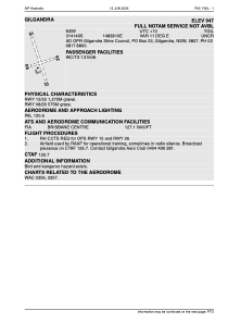


YGIL - Gilgandra
Located in Gilgandra, Australia
ICAO - YGIL, IATA -
Data provided by AirmateGeneral information
Coordinates: S31°41'49" E148°38'11"
Elevation is 1050 feet MSL.
Magnetic variation is 11° East View others Airports in New South Wales
Operational data
Special qualification required
Current time UTC:
Current local time:
Communications frequencies: [VIEW]
Runways:
| RWY identifier | QFU | Length (ft) | Width (ft) | Surface | LDA (ft) |
| 15 | 0° | 4206 | 0 | X | |
| 33 | 0° | 4206 | 0 | X | |
| 08 | 0° | 1902 | 0 | S | |
| 26 | 0° | 1902 | 0 | S |
Airport contact information
Address: Gilgandra Australia