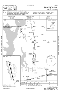


S43 - Harvey Fld
Located in Snohomish, United States
ICAO - S43, IATA -
Data provided by AirmateGeneral information
Coordinates: N47°54'18" W122°6'10"
Elevation is 23 feet MSL.
Magnetic variation is 17° East View others Airports in Washington
Operational data
Special qualification required
Current time UTC:
Current local time:
Weather at : KPAE - Seattle Paine Fld Intl ( 13 km )
METAR: KPAE 080053Z 34008KT 10SM CLR 22/09 A2992 RMK AO2 SLP132 T02220089
TAF: KPAE 072324Z 0800/0824 34007KT P6SM FEW250 FM080900 VRB03KT P6SM SKC FM081700 29005KT P6SM SKC FM082300 33007KT P6SM BKN250
Communications frequencies: [VIEW]
Runways:
| RWY identifier | QFU | Length (ft) | Width (ft) | Surface | LDA (ft) |
| 15L | 165° | 2672 | 36 | ASPH | |
| 33R | 345° | 2672 | 36 | ASPH | |
| 15R | 165° | 2430 | 100 | GRASS | |
| 33L | 345° | 2430 | 100 | GRASS |
Airport contact information
Address: Snohomish United States
