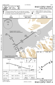


PAHO - Homer
Located in Homer,
ICAO - HOM, IATA - HOM
Data provided by AirmateGeneral information
Coordinates: N59°38'44" W151°28'36"
Elevation is 84 feet MSL.
Magnetic variation is 17° East View others Airports in Alaska
Operational data
Special qualification required
Current time UTC:
Current local time:
Communications frequencies: [VIEW]
Runways:
| RWY identifier | QFU | Length (ft) | Width (ft) | Surface | LDA (ft) |
| 04 | 55° | 6701 | 150 | ASPH | |
| 22 | 235° | 6701 | 150 | ASPH |
Airport contact information
Address: Homer