


KGUS - Grissom Arb
Located in Peru, United States
ICAO - GUS, IATA - GUS
Data provided by AirmateGeneral information
Coordinates: N40°38'53" W86°9'8"
Elevation is 810 feet MSL.
Magnetic variation is -02° East View others Airports in Indiana
Operational data
Special qualification required
Current time UTC:
Current local time:
Weather
METAR: KGUS 040255Z AUTO 14007KT 10SM CLR 22/16 A2983 RMK AO2 SLP099 T02160157 53002
TAF: TAF KGUS 032100Z 0321/0503 19012KT 9999 FEW050 QNH2984INS BECMG 0417/0418 16012G18KT 9999 SKC QNH2974INS BECMG 0422/0423 17015G20KT 9000 -SHRA SCT045 SCT065 QNH2974INS BECMG 0501/0502 17012KT 9999 NSW SCT040 BKN055 OVC080 QNH2973INS TX29/0420Z TN18/0411Z LAST NO AMDS AFT 0403 NEXT 0413
Communications frequencies: [VIEW]
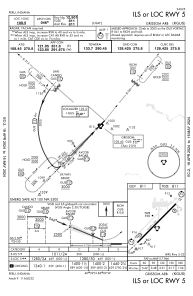
Runways:
| RWY identifier | QFU | Length (ft) | Width (ft) | Surface | LDA (ft) |
| 05 | 44° | 12501 | 200 | ASPH | |
| 23 | 224° | 12501 | 200 | ASPH |
Airport contact information
Address: Peru United States