logo
Search for airport 
image banner adimage banner adimage banner ad
image banner ad

I76 - Peru Muni

Located in Peru, United States

ICAO - I76, IATA -

Data provided by Airmate  

General information

Coordinates: N40°47'9" W86°8'47"
Elevation is 779 feet MSL.
Magnetic variation is -04° East
View others Airports in Indiana

Operational data

Special qualification required
Current time UTC:
Current local time:
Weather at : KGUS - Grissom Arb ( 15 km )
METAR: KGUS 232155Z AUTO 00000KT 10SM CLR 27/08 A2986 RMK AO2 SLP111 T02660081
TAF: TAF KGUS 232100Z 2321/2503 VRB06KT 9999 SKC QNH2986INS BECMG 2415/2416 18012G18KT 9999 SKC QNH2972INS BECMG 2422/2423 29015G25KT 4800 -SHRA BKN030 OVC050 QNH2972INS TEMPO 2423/2501 VRB25G35KT 2400 TSRAGR OVC015CB BECMG 2500/2501 18012G18KT 9999 NSW BKN035 OVC055 QNH2973INS TX31/2421Z TN16/2409Z LAST NO AMDS AFT 2403 NEXT 2413
View NOTAMs / SUP AIP / TFR affecting this airport [VIEW]
Communications frequencies: [VIEW]
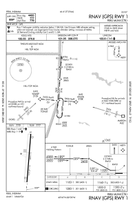
Runways:

RWY identifierQFULength (ft)Width (ft)SurfaceLDA (ft)
01440075ASPH
19185°440075ASPH

Airport contact information

Address: Peru United States

Satellite view of I76