


CYGP - Gaspe (Michel-Pouliot)
Located in , Canada
ICAO - CYGP, IATA - YGP
Data provided by AirmateGeneral information
Coordinates: N48°46'30" W64°28'54"
Elevation is 112 feet MSL.
Magnetic variation is -19.2867° East View others Airports in Quebec
Operational data
Special qualification required
Current time UTC:
Current local time:
Weather
METAR: CYGP 291135Z VRB02KT 3SM BR SCT001 BKN040 BKN087 13/13 A2955 RMK ST3SC2AC1 SLP010 DENSITY ALT 400FT
TAF: TAF AMD CYGP 291119Z 2911/2920 VRB03KT 1/2SM FG VV001 TEMPO 2911/2913 2SM BR SCT003 BKN015 FM291300 27007KT P6SM BKN040 TEMPO 2913/2920 BKN020 BECMG 2913/2915 25012G22KT RMK NXT FCST BY 291400Z
Communications frequencies: [VIEW]
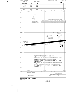
Runways:
| RWY identifier | QFU | Length (ft) | Width (ft) | Surface | LDA (ft) |
| 10 | 84° | 5488 | 150 | ASPH | 5488 |
| 28 | 264° | 5488 | 150 | ASPH | 5488 |
Airport contact information
Address: Canada