
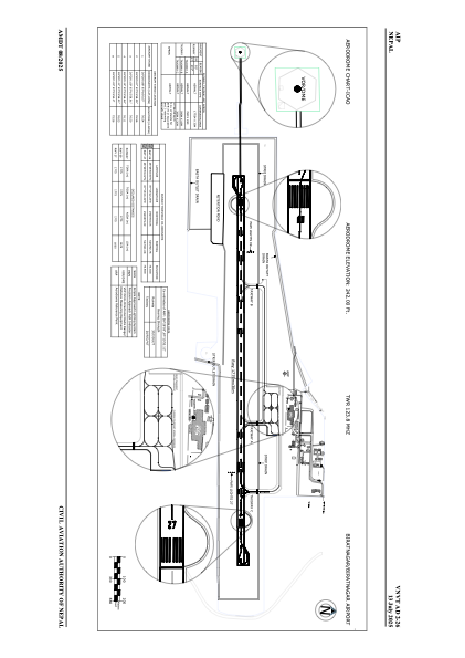


VNVT - Biratnagar
Located in Biratnagar, Nepal
ICAO - VNVT, IATA - BIR
Data provided by AirmateGeneral information
Coordinates: N26°29'3" E87°15'52"
Elevation is 246 feet MSL.
View others Airports in Kosi
Operational data
Special qualification required
Current time UTC:
Current local time:
Communications frequencies: [VIEW]
Runways:
| RWY identifier | QFU | Length (ft) | Width (ft) | Surface | LDA (ft) |
| 09 | 92° | 4921 | 98 | ASP | |
| 27 | 272° | 4921 | 98 | ASP |
Airport contact information
Address: Biratnagar Nepal