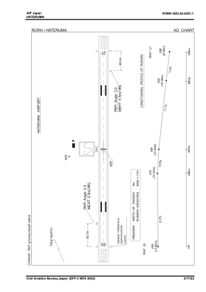


RORH - Hateruma
Located in , Japan
ICAO - RORH, IATA - HTR
Data provided by AirmateGeneral information
Coordinates: N24°3'30" E123°48'14"
Elevation is 43 feet MSL.
View others Airports in Okinawa Prefecture
Operational data
Special qualification required
Current time UTC:
Current local time:
Communications frequencies: [VIEW]
Runways:
| RWY identifier | QFU | Length (ft) | Width (ft) | Surface | LDA (ft) |
| 03 | 0° | 2625 | 82 | UNK | |
| 21 | 0° | 2625 | 82 | UNK |
Airport contact information
Address: Japan