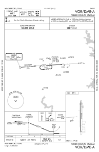


KWEA - Parker County
Located in Weatherford, United States
ICAO - WEA, IATA -
Data provided by AirmateGeneral information
Coordinates: N32°44'47" W97°40'57"
Elevation is 991 feet MSL.
Magnetic variation is 05° East View others Airports in Texas
Operational data
Special qualification required
Current time UTC:
Current local time:
Weather at : KNFW - Fort Worth Nas Jrb (Carswell Fld) ( 23 km )
METAR: KNFW 300352Z 12005KT 10SM CLR 22/16 A2990 RMK AO2 SLP108 T02220161 $
TAF: TAF KNFW 2923/3023 VRB06KT 9999 FEW030 QNH2980INS BECMG 3012/3013 15008KT 9000 BR FEW015 FEW030 QNH2982INS AUTOMATED SENSOR METWATCH 2923 TIL 3011 TX28/3021Z TN15/3012Z FN20092
Communications frequencies: [VIEW]
Runways:
| RWY identifier | QFU | Length (ft) | Width (ft) | Surface | LDA (ft) |
| 17 | 180° | 2892 | 40 | ASPH | |
| 35 | 0° | 2892 | 40 | ASPH |
Airport contact information
Address: Weatherford United States