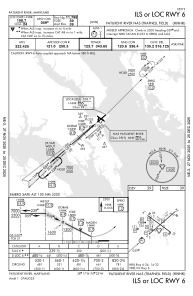
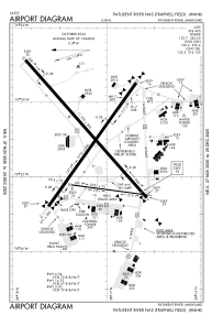


KNHK - Patuxent River Nas (Trapnell Fld)
Located in Patuxent River, United States
ICAO - NHK, IATA -
Data provided by AirmateGeneral information
Coordinates: N38°17'11" W76°24'36"
Elevation is 38 feet MSL.
Magnetic variation is -10° East View others Airports in Maryland
Operational data
Special qualification required
Current time UTC:
Current local time:
Communications frequencies: [VIEW]
Runways:
| RWY identifier | QFU | Length (ft) | Width (ft) | Surface | LDA (ft) |
| 02 | 8° | 5021 | 75 | ASPH | |
| 20 | 188° | 5021 | 75 | ASPH | |
| 06 | 49° | 11799 | 200 | ASPH | |
| 24 | 229° | 11799 | 200 | ASPH | |
| 14 | 126° | 9732 | 200 | ASPH | |
| 32 | 306° | 9732 | 200 | ASPH |
Airport contact information
Address: Patuxent River United States
Other aviation service providers
Flight schools

Patuxent River Navy Flying Club
Patuxent River Navy Flying Club
pax.flying.club@gmail.com+1(301)862-1110