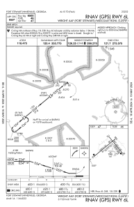


KLHW - Wright Aaf (Fort Stewart)/Midcoast Rgnl
Located in Fort Stewart(Hinesville), United States
ICAO - LHW, IATA - LIY
Data provided by AirmateGeneral information
Coordinates: N31°53'16" W81°33'46"
Elevation is 46 feet MSL.
Magnetic variation is -04° East View others Airports in Georgia
Operational data
Special qualification required
Current time UTC:
Current local time:
Weather
METAR: KLHW 261440Z 09009KT 10SM SCT019 24/18 A3019 RMK AO2A SLP226 $
Communications frequencies: [VIEW]
Runways:
| RWY identifier | QFU | Length (ft) | Width (ft) | Surface | LDA (ft) |
| 06R | 51° | 2610 | 100 | ASPH | |
| 24L | 231° | 2610 | 100 | ASPH | |
| 06L | 51° | 6500 | 100 | ASPH | |
| 24R | 231° | 6500 | 100 | ASPH | |
| 15R | 141° | 2520 | 100 | ASPH | |
| 33L | 321° | 2520 | 100 | ASPH | |
| 15L | 141° | 5001 | 100 | ASPH | |
| 33R | 321° | 5001 | 100 | ASPH |
Airport contact information
Address: Fort Stewart(Hinesville) United States