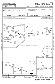
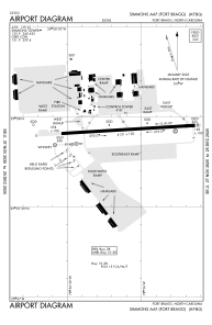


KFBG - Simmons Aaf
Located in Fort Liberty, United States
ICAO - FBG, IATA - FBG
Data provided by AirmateGeneral information
Coordinates: N35°7'55" W78°56'10"
Elevation is 244 feet MSL.
Magnetic variation is -07° East View others Airports in North Carolina
Operational data
Special qualification required
Current time UTC:
Current local time:
Weather
METAR: KFBG 081855Z 23008KT 10SM SCT050 OVC200 32/21 A2974 RMK AO2A SLP071 T03230208 $
TAF: TAF KFBG 081700Z 0817/0923 28010G20KT 9999 FEW050 SCT100 BKN220 QNH2972INS TEMPO 0822/0901 27015G35KT 8000 TSRA BKN025CB BECMG 0900/0901 22009KT 9999 BKN040 QNH2970INS TEMPO 0908/0912 23010G15KT 8000 -TSRA BKN025CB OVC040 BECMG 0911/0912 25012G20KT 9999 BKN030 QNH2967INS BECMG 0917/0918 25015G25KT 9999 VCTS BKN045CB QNH2964INS TX33/0820Z TN23/0909Z
Communications frequencies: [VIEW]
Runways:
| RWY identifier | QFU | Length (ft) | Width (ft) | Surface | LDA (ft) |
| 09 | 86° | 5011 | 110 | ASPH | |
| 27 | 266° | 5011 | 110 | ASPH |
Airport contact information
Address: Fort Liberty United States