


KCGS - College Park
Located in College Park, United States
ICAO - CGS, IATA - CGS
Data provided by AirmateGeneral information
Coordinates: N38°58'50" W76°55'20"
Elevation is 48 feet MSL.
Magnetic variation is -11° East View others Airports in Maryland
Operational data
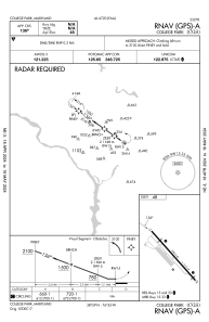
Special qualification required
Current time UTC:
Current local time:
Weather
METAR: KCGS 260430Z AUTO 11003KT 10SM CLR 09/05 A3036 RMK AO2 T00880049
Communications frequencies: [VIEW]
Runways:
| RWY identifier | QFU | Length (ft) | Width (ft) | Surface | LDA (ft) |
| 15 | 138° | 2607 | 60 | ASPH | |
| 33 | 318° | 2607 | 60 | ASPH |
Airport contact information
Address: College Park United States