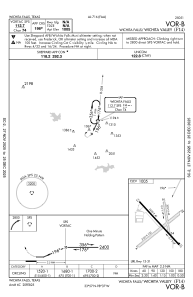


F14 - Wichita Valley
Located in Wichita Falls, United States
ICAO - F14, IATA -
Data provided by AirmateGeneral information
Coordinates: N33°56'51" W98°36'58"
Elevation is 1005 feet MSL.
Magnetic variation is 10° East View others Airports in Texas
Operational data
Special qualification required
Current time UTC:
Current local time:
Weather at : KSPS - Sheppard Afb/Wichita Falls Muni ( 12 km )
METAR: KSPS 300452Z 13007KT 10SM CLR 19/17 A2987 RMK AO2 SLP103 T01940167
TAF: KSPS 300520Z 3006/0106 15010KT P6SM SKC FM301400 19015G25KT P6SM SCT015 FM302100 20010G20KT P6SM FEW110 FM010000 12008KT P6SM FEW100 PROB30 0100/0106 4SM TSRA BR BKN100CB
Communications frequencies: [VIEW]
Runways:
| RWY identifier | QFU | Length (ft) | Width (ft) | Surface | LDA (ft) |
| 04 | 49° | 3107 | 100 | GRASS | |
| 22 | 229° | 3107 | 100 | GRASS | |
| 13 | 141° | 3320 | 40 | ASPH | |
| 31 | 321° | 3320 | 40 | ASPH | |
| 16 | 173° | 2037 | 42 | GRASS | |
| 34 | 353° | 2037 | 42 | GRASS |
Airport contact information
Address: Wichita Falls United States