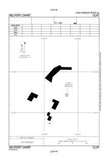


CLH7 - Long Harbour River
Located in , Canada
ICAO - , IATA -
Data provided by AirmateGeneral information
Coordinates: N47°54'16" W54°55'13"
Elevation is 300 feet MSL.
Magnetic variation is -18.4° East View others Airports in Newfoundland and Labrador
Operational data
Special qualification required
Current time UTC:
Current local time:
Weather at : - ( 0 km )
METAR: ZMUB 290000Z 00000MPS CAVOK M01/M07 Q1021 NOSIG RMK QFE657.7 58
Communications frequencies: [VIEW]
Runways:
Airport contact information
Address: Canada