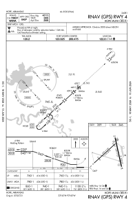


M18 - Hope Muni
Located in Hope, United States
ICAO - M18, IATA -
Data provided by AirmateGeneral information
Coordinates: N33°43'12" W93°39'32"
Elevation is 359 feet MSL.
Magnetic variation is 03° East View others Airports in Arkansas
Operational data
Special qualification required
Current time UTC:
Current local time:
Weather at : KTXK - Texarkana Rgnl-Webb Fld ( 43 km )
METAR: KTXK 220653Z AUTO 19010KT 8SM SCT050 BKN070 27/22 A2984 RMK AO2 SLP098 T02720222
TAF: KTXK 220546Z 2206/2306 18008KT P6SM OVC150 FM220900 19008KT P6SM BKN015 OVC150 FM221700 19009KT P6SM VCTS BKN025CB FM222000 VRB20G30KT 1SM +TSRA BR OVC035CB FM230000 VRB15G25KT 3SM -TSRA OVC025CB
Communications frequencies: [VIEW]
Runways:
| RWY identifier | QFU | Length (ft) | Width (ft) | Surface | LDA (ft) |
| 04 | 48° | 5301 | 100 | CONC | |
| 22 | 228° | 5301 | 100 | CONC | |
| 16 | 167° | 5501 | 100 | CONC | |
| 34 | 347° | 5501 | 100 | CONC |
Airport contact information
Address: Hope United States