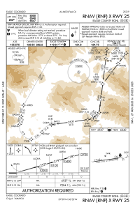
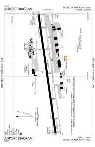


KEGE - Eagle County Rgnl
Located in Eagle, United States
ICAO - EGE, IATA - EGE
Data provided by AirmateGeneral information
Coordinates: N39°38'34" W106°54'57"
Elevation is 6547 feet MSL.
Magnetic variation is 09° East View others Airports in Colorado
Operational data
Special qualification required
Current time UTC:
Current local time:
Weather
METAR: KEGE 271356Z 00000KT 10SM CLR 07/01 A3033 RMK AO2 SLP164 T00670011 PNO $
TAF: KEGE 271121Z 2712/2812 VRB03KT P6SM FEW090 FM272000 25010G15KT P6SM FEW100 FM280200 23006KT P6SM FEW100 FM280600 VRB03KT P6SM SKC
Communications frequencies: [VIEW]
Runways:
| RWY identifier | QFU | Length (ft) | Width (ft) | Surface | LDA (ft) |
| 07 | 82° | 9000 | 150 | ASPH | 9000 |
| 25 | 262° | 9000 | 150 | ASPH | 8000 |
Airport contact information
Address: Eagle United States
