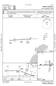


57D - Ray Community
Located in Ray, United States
ICAO - 57D, IATA -
Data provided by AirmateGeneral information
Coordinates: N42°44'12" W82°53'20"
Elevation is 632 feet MSL.
Magnetic variation is -06° East View others Airports in Michigan
Operational data
Special qualification required
Current time UTC:
Current local time:
Weather at : KMTC - Selfridge Angb ( 14 km )
METAR: KMTC 081856Z 29021KT 10SM FEW065 FEW250 24/08 A2965 RMK AO2A PK WND 28027/13 SLP043 T02440079 $
TAF: TAF KMTC 081900Z 0819/1001 28015G25KT 9999 SKC 510004 QNH2960INS BECMG 0823/0824 31012KT 9999 SKC QNH2967INS BECMG 0901/0902 01015KT 9999 SCT025 BKN040 BKN190 QNH2975INS BECMG 0909/0910 04009KT 9000 BR FEW003 BKN010 OVC015 QNH2975INS BECMG 0913/0914 05012KT 9999 NSW BKN010 OVC015 QNH2977INS BECMG 0917/0918 04015KT 9999 SCT025 BKN040 BKN100 QNH2978INS TX25/0820Z TN09/0910Z LAST NO AMDS AFT 0903 NEXT 0911
Communications frequencies: [VIEW]
Runways:
| RWY identifier | QFU | Length (ft) | Width (ft) | Surface | LDA (ft) |
| 01 | 359° | 2202 | 123 | OTHER | |
| 19 | 179° | 2202 | 123 | OTHER | |
| 10 | 88° | 2495 | 60 | ASPH | |
| 28 | 268° | 2495 | 60 | ASPH |
Airport contact information
Address: Ray United States
