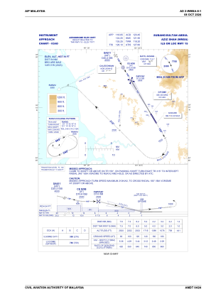


WMSA - Subang / Sultan Abdul Aziz Shah
Located in Subang, Malaysia
ICAO - WMSA, IATA - SZB
Data provided by AirmateGeneral information
Coordinates: N3°7'56" E101°33'1"
Elevation is 89 feet MSL.
View others Airports in Selangor
Operational data
Special qualification required
Current time UTC:
Current local time:
Weather
METAR: WMSA 140900Z 16005KT 120V190 9999 TS FEW017CB 27/24 Q1007
TAF: TAF AMD WMSA 140742Z 1407/1506 29006KT 9999 FEW018 TEMPO 1407/1412 28010G20KT 4000 TSRA FEW016CB SCT018 TEMPO 1414/1418 5000 TSRA FEW010 FEW016CB
Communications frequencies: [VIEW]
Runways:
| RWY identifier | QFU | Length (ft) | Width (ft) | Surface | LDA (ft) |
| 15 | 150° | 12408 | 148 | ASP | |
| 33 | 330° | 12408 | 148 | ASP |
Airport contact information
Address: Subang Malaysia
