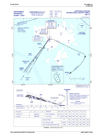


WMKL - Langkawi International
Located in Dataran Lang,Kuah, Malaysia
ICAO - WMKL, IATA - LGK
Data provided by AirmateGeneral information
Coordinates: N6°20'22" E99°44'1"
Elevation is 23 feet MSL.
View others Airports in Kedah
Operational data
Special qualification required
Current time UTC:
Current local time:
Weather
METAR: WMKL 140700Z VRB03KT 9999 FEW020 33/28 Q1007
TAF: TAF WMKL 140500Z 1406/1506 VRB05KT 9999 FEW020 PROB30 TEMPO 1414/1418 6000 TSRA FEW008 FEW017CB
Communications frequencies: [VIEW]
Runways:
| RWY identifier | QFU | Length (ft) | Width (ft) | Surface | LDA (ft) |
| 03 | 34° | 12510 | 148 | ASP | |
| 21 | 214° | 12510 | 148 | ASP |
Airport contact information
Address: Dataran Lang,Kuah Malaysia