


VYMM - Mawlamyine
Located in Mawlamyine, Myanmar
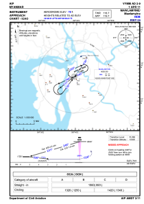
ICAO - VYMM, IATA - MNU
Data provided by AirmateGeneral information
Coordinates: N16°26'41" E97°39'39"
Elevation is 78 feet MSL.
View others Airports in Mon State
Operational data
Special qualification required
Current time UTC:
Current local time:
Communications frequencies: [VIEW]
Runways:
| RWY identifier | QFU | Length (ft) | Width (ft) | Surface | LDA (ft) |
| 04 | 36° | 5299 | 151 | BIT | |
| 22 | 216° | 5299 | 151 | BIT |
Airport contact information
Address: Mawlamyine Myanmar