


VYBP - Bokpyinn
Located in Bokpyinn, Myanmar
ICAO - VYBP, IATA - VBP
Data provided by AirmateGeneral information
Coordinates: N11°8'58" E98°44'10"
Elevation is 86 feet MSL.
View others Airports in Tanintharyi Division
Operational data
Special qualification required
Current time UTC:
Current local time:
Weather at : - ( 0 km )
METAR: PATQ 100947Z AUTO 21005KT 1 1/2SM -SN BR OVC023 M08/M08 A2983 RMK AO2 P0000 FZRANO TSNO
Communications frequencies: [VIEW]
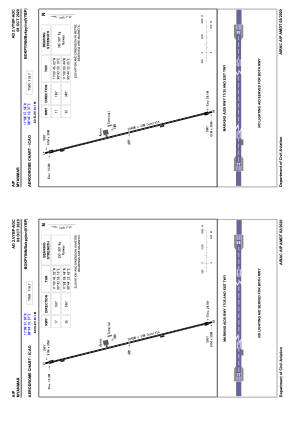
Runways:
| RWY identifier | QFU | Length (ft) | Width (ft) | Surface | LDA (ft) |
| 17 | 166° | 10000 | 98 | UNK | |
| 35 | 346° | 10000 | 98 | UNK |
Airport contact information
Address: Bokpyinn Myanmar