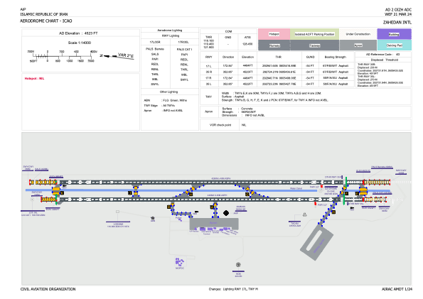


OIZH - Zahedan / International
Located in Zahedan, Iran, Islamic Republic of
ICAO - OIZH, IATA - ZAH
Data provided by AirmateGeneral information
Coordinates: N29°28'24" E60°54'12"
Elevation is 4523 feet MSL.
View others Airports in Sistan and Baluchestan Province
Operational data
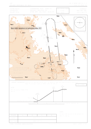
Special qualification required
Current time UTC:
Current local time:
Weather
METAR: OIZH 160630Z 24006KT 9999 FEW040TCU SCT200 30/09 Q1020 A3014
TAF: TAF OIZH 160530Z 1606/1712 22006KT 8000 FEW040 SCT100 TEMPO 1609/1618 35018G32KT 4000 TSRA SA SCT035CB SCT040 BKN090 TEMPO 1706/1712 22018G32KT 3000 TSRA SA SCT035CB SCT040 BKN090
Communications frequencies: [VIEW]
Runways:
| RWY identifier | QFU | Length (ft) | Width (ft) | Surface | LDA (ft) |
| 17R | 173° | 13996 | 148 | UNK | |
| 35L | 353° | 13996 | 148 | UNK | |
| 17L | 173° | 13993 | 148 | ASP | |
| 35R | 353° | 13993 | 148 | ASP |
Airport contact information
Address: Zahedan Iran, Islamic Republic of