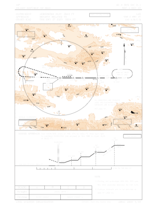


OISL - Lar / Secondary International Aerodrome
Located in Lar, Iran, Islamic Republic of
ICAO - OISL, IATA - LRR
Data provided by AirmateGeneral information
Coordinates: N27°40'23" E54°23'14"
Elevation is 2643 feet MSL.
View others Airports in Fars Province
Operational data
Special qualification required
Current time UTC:
Current local time:
Weather
TAF: TAF OISL 151730Z 1518/1624 27007KT CAVOK TEMPO 1607/1617 15015KT FEW035CB SCT040
Communications frequencies: [VIEW]
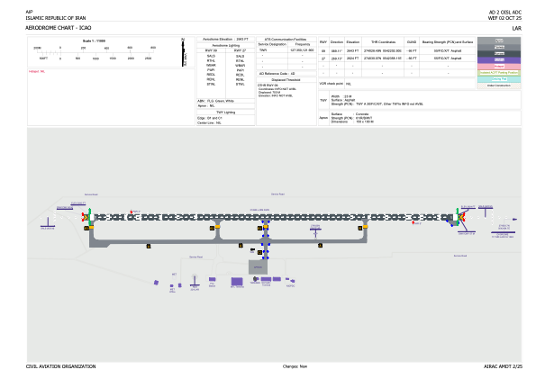
Runways:
| RWY identifier | QFU | Length (ft) | Width (ft) | Surface | LDA (ft) |
| 09 | 89° | 10397 | 148 | ASP | |
| 27 | 269° | 10397 | 148 | ASP |
Airport contact information
Address: Lar Iran, Islamic Republic of