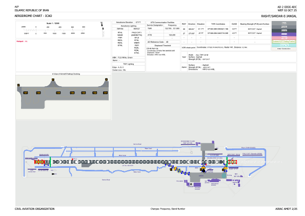


OIGG - Rasht / Sardar-E-Jangal / Secondary International Aerodrome
Located in Rasht, Iran, Islamic Republic of
ICAO - OIGG, IATA - RAS
Data provided by AirmateGeneral information
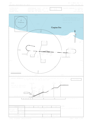
Coordinates: N37°19'24" E49°37'4"
Elevation is -37 feet MSL.
View others Airports in Gilan Province
Operational data
Special qualification required
Current time UTC:
Current local time:
Weather
METAR: OIGG 180230Z 07006KT 8000 FEW010CB BKN030 BKN070 14/14 Q1018
TAF: TAF OIGG 180210Z 1803/1812 35008KT 7000 FEW010CB SCT015 OVC060 TEMPO 1803/1805 2000 BR BKN004 OVC060 BECMG 1805/1807 7000 FEW015CB SCT020 BKN070 TEMPO 1809/1812 10014KT 5000 RA BR FEW010CB SCT015 OVC060
Communications frequencies: [VIEW]
Runways:
| RWY identifier | QFU | Length (ft) | Width (ft) | Surface | LDA (ft) |
| 09 | 94° | 9570 | 148 | ASP | |
| 27 | 274° | 9570 | 148 | ASP |
Airport contact information
Address: Rasht Iran, Islamic Republic of