


MMCV - Ciudad Victoria Aeropuerto Int. Gral. Pedro Jose Mendez
Located in Ciudad Victoria, Mexico
ICAO - MMCV, IATA - CVM
Data provided by AirmateGeneral information
Coordinates: N23°42'12" W98°57'23"
Elevation is 761 feet MSL.
View others Airports in Tamaulipas
Operational data
Special qualification required
Current time UTC:
Current local time:
Weather
METAR: MMCV 161440Z 15012G22KT 3SM HZ FEW100 BKN240 29/20 A2965 RMK SLP/// 57007 992 8/038
TAF: TAF AMD MMCV 161511Z 1615/1706 15012G22KT 3SM HZ SCT100 BKN240 BECMG 1617/1618 4SM HZ FM162100 06015KT 5SM HZ SCT030 FM170100 34005KT 6SM HZ SKC
Communications frequencies: [VIEW]
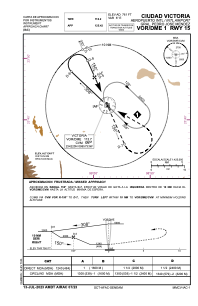
Runways:
| RWY identifier | QFU | Length (ft) | Width (ft) | Surface | LDA (ft) |
| 15 | 157° | 7218 | 148 | ASP | |
| 33 | 337° | 7218 | 148 | ASP |
Airport contact information
Address: Ciudad Victoria Mexico