


M18 - Hope Muni
Located in Hope, United States
ICAO - M18, IATA -
Data provided by AirmateGeneral information
Coordinates: N33°43'12" W93°39'32"
Elevation is 359 feet MSL.
Magnetic variation is 03° East View others Airports in Arkansas
Operational data
Special qualification required
Current time UTC:
Current local time:
Weather at : KTXK - Texarkana Rgnl-Webb Fld ( 43 km )
TAF: KTXK 261120Z 2612/2712 20010G24KT P6SM BKN014 BKN019 FM261300 19010KT P6SM SCT015 BKN250 FM261500 20014G20KT P6SM SCT025 SCT250 FM261800 20017G28KT P6SM SCT040 SCT250 FM270000 21010KT P6SM VCTS FEW050CB SCT100 BKN250 FM270600 22003KT P6SM BKN250
Communications frequencies: [VIEW]
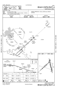
Runways:
| RWY identifier | QFU | Length (ft) | Width (ft) | Surface | LDA (ft) |
| 04 | 48° | 5301 | 100 | CONC | |
| 22 | 228° | 5301 | 100 | CONC | |
| 16 | 167° | 5501 | 100 | CONC | |
| 34 | 347° | 5501 | 100 | CONC |
Airport contact information
Address: Hope United States