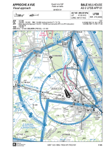


LFSB - Bale-Mulhouse
Located in Bale-Mulhouse, France
ICAO - LFSB, IATA - BSL
Data provided by AirmateGeneral information
Coordinates: N47°35'24" E7°31'45"
Elevation is 885 feet MSL.
Magnetic variation is 2.50° East View others Airports in Alsace
Operational data
Special qualification required
Current time UTC:
Current local time:
Weather
METAR: LFSB 220800Z AUTO 26010KT 240V300 9999 SCT021/// BKN031/// BKN037/// ///TCU 16/12 Q1013 BECMG FEW035 BKN050
TAF: TAF LFSB 220500Z 2206/2306 24010KT 9999 FEW035 BKN050 TEMPO 2206/2208 -SHRA FEW030TCU PROB30 TEMPO 2210/2218 -SHRA FEW030TCU BECMG 2218/2221 VRB03KT
Communications frequencies: [VIEW]
Runways:
| RWY identifier | QFU | Length (ft) | Width (ft) | Surface | LDA (ft) |
| 15 | 155° | 12795 | 197 | CONC | 12795 |
| 33 | 335° | 12795 | 197 | CONC | 9121 |
| 07 | 77° | 5627 | 197 | CONC | |
| 25 | 257° | 5627 | 197 | CONC | 5249 |
Airport contact information
Address: Bale-Mulhouse France


