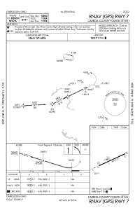


KTSO - Carroll County-Tolson
Located in Carrollton, United States
ICAO - TSO, IATA -
Data provided by AirmateGeneral information
Coordinates: N40°33'42" W81°4'41"
Elevation is 1163 feet MSL.
Magnetic variation is -07° East View others Airports in Ohio
Operational data
Special qualification required
Current time UTC:
Current local time:
Communications frequencies: [VIEW]
Runways:
| RWY identifier | QFU | Length (ft) | Width (ft) | Surface | LDA (ft) |
| 07 | 64° | 4300 | 75 | ASPH | |
| 25 | 244° | 4300 | 75 | ASPH |
Airport contact information
Address: Carrollton United States