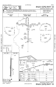


KSIV - Sullivan County
Located in Sullivan, United States
ICAO - SIV, IATA -
Data provided by AirmateGeneral information
Coordinates: N39°6'53" W87°26'54"
Elevation is 539 feet MSL.
Magnetic variation is -02° East View others Airports in Indiana
Operational data
Special qualification required
Current time UTC:
Current local time:
Weather at : KRSV - Crawford County ( 21 km )
METAR: KRSV 091703Z AUTO 28013KT 10SM SCT019 BKN026 OVC031 22/18 A2967 RMK AO2 TSNO
Communications frequencies: [VIEW]
Runways:
| RWY identifier | QFU | Length (ft) | Width (ft) | Surface | LDA (ft) |
| 18 | 181° | 4359 | 75 | ASPH | |
| 36 | 1° | 4359 | 75 | ASPH |
Airport contact information
Address: Sullivan United States