


KLBT - Lumberton Rgnl
Located in Lumberton, United States
ICAO - LBT, IATA - LBT
Data provided by AirmateGeneral information
Coordinates: N34°36'35" W79°3'34"
Elevation is 124 feet MSL.
Magnetic variation is -08° East View others Airports in North Carolina
Operational data
Special qualification required
Current time UTC:
Current local time:
Weather
METAR: KLBT 172356Z AUTO 13005KT 10SM SCT041 BKN120 25/20 A2986 RMK AO2 SLP111 T02500200 10289 20250 58001
TAF: KLBT 172347Z 1800/1824 17005KT P6SM BKN070 OVC100 FM180600 18004KT P6SM VCSH BKN015 OVC025 FM181100 19004KT 5SM -SHRA BR BKN007 OVC015 FM181600 23006KT P6SM VCSH BKN025 PROB30 1820/1824 VRB15G30KT 3SM TSRA BR BKN015 OVC030CB
Communications frequencies: [VIEW]
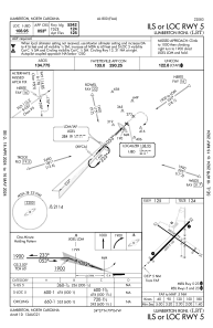
Runways:
| RWY identifier | QFU | Length (ft) | Width (ft) | Surface | LDA (ft) |
| 05 | 45° | 5502 | 150 | ASPH | |
| 23 | 225° | 5502 | 150 | ASPH | |
| 13 | 125° | 5003 | 75 | ASPH | |
| 31 | 305° | 5003 | 75 | ASPH |
Airport contact information
Address: Lumberton United States