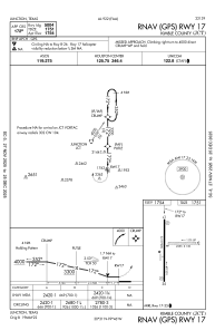


KJCT - Kimble County
Located in Junction, United States
ICAO - JCT, IATA - JCT
Data provided by AirmateGeneral information
Coordinates: N30°30'40" W99°45'46"
Elevation is 1753 feet MSL.
Magnetic variation is 08° East View others Airports in Texas
Operational data
Special qualification required
Current time UTC:
Current local time:
Weather
METAR: KJCT 090814Z AUTO 00000KT 4SM HZ SCT012 26/23 A2968 RMK AO2 T02610233
TAF: KJCT 090703Z 0907/1006 VRB03KT 5SM BR SCT015 FM090730 VRB03KT 5SM BR OVC007 FM091400 VRB05KT P6SM VCSH BKN015 FM091600 26008KT P6SM SCT250 FM091900 31008KT P6SM FEW250 FM100300 03011G18KT P6SM FEW250
Communications frequencies: [VIEW]
Runways:
| RWY identifier | QFU | Length (ft) | Width (ft) | Surface | LDA (ft) |
| 08 | 92° | 2255 | 130 | GRASS | |
| 26 | 272° | 2255 | 130 | GRASS | |
| 17 | 180° | 5004 | 75 | ASPH | |
| 35 | 0° | 5004 | 75 | ASPH |
Airport contact information
Address: Junction United States