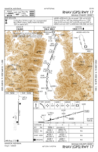


KHRF - Ravalli County
Located in Hamilton, United States
ICAO - HRF, IATA -
Data provided by AirmateGeneral information
Coordinates: N46°15'26" W114°7'26"
Elevation is 3635 feet MSL.
Magnetic variation is 13° East View others Airports in Montana
Operational data
Special qualification required
Current time UTC:
Current local time:
Weather at : KMSO - Missoula Montana ( 73 km )
METAR: KMSO 082053Z 29004KT 10SM FEW036 FEW055 OVC070 09/05 A3023 RMK AO2 SLP249 60000 T00890050 51013
TAF: KMSO 081720Z 0818/0918 19008KT P6SM -RA OVC040 FM082000 31008KT P6SM OVC050 FM090000 01008KT P6SM BKN050 FM091200 15005KT 6SM BR BKN050
Communications frequencies: [VIEW]
Runways:
| RWY identifier | QFU | Length (ft) | Width (ft) | Surface | LDA (ft) |
| 17 | 181° | 5200 | 75 | ASPH | |
| 35 | 1° | 5200 | 75 | ASPH |
Airport contact information
Address: Hamilton United States