


KGSB - Seymour Johnson Afb
Located in Goldsboro, United States
ICAO - GSB, IATA - GSB
Data provided by AirmateGeneral information
Coordinates: N35°20'22" W77°57'38"
Elevation is 109 feet MSL.
Magnetic variation is -08° East View others Airports in North Carolina
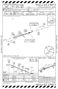
Operational data
Special qualification required
Current time UTC:
Current local time:
Weather
METAR: KGSB 081455Z 28007KT 10SM FEW120 29/21 A2977 RMK AO2A SLP084 T02910213 58001 $
TAF: TAF KGSB 081200Z 0812/0918 23007KT 9999 SCT100 QNH2974INS BECMG 0814/0815 24012G18KT 9999 SCT050 BKN250 QNH2970INS TEMPO 0820/0824 VRB25G50KT 2400 +TSRA BKN030CB BKN250 BECMG 0823/0824 22009KT 9999 BKN035 BKN150 QNH2972INS BECMG 0904/0905 20006KT 8000 BR SCT010 BKN015 QNH2969INS BECMG 0911/0912 20008KT 9999 NSW SCT030 QNH2962INS TX33/0820Z TN21/0911Z
Communications frequencies: [VIEW]
Runways:
| RWY identifier | QFU | Length (ft) | Width (ft) | Surface | LDA (ft) |
| 08 | 73° | 11760 | 300 | CONC | |
| 26 | 253° | 11760 | 300 | CONC |
Airport contact information
Address: Goldsboro United States