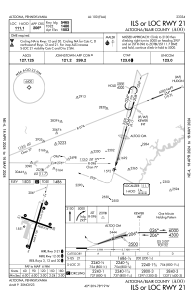


KAOO - Altoona/Blair County
Located in Altoona, United States
ICAO - AOO, IATA - AOO
Data provided by AirmateGeneral information
Coordinates: N40°17'47" W78°19'12"
Elevation is 1503 feet MSL.
Magnetic variation is -10° East View others Airports in Pennsylvania
Operational data
Special qualification required
Current time UTC:
Current local time:
Weather
METAR: KAOO 091153Z AUTO 00000KT 10SM BKN095 14/09 A2978 RMK AO2 SLP076 T01440089 10167 20100 53003
TAF: KAOO 091120Z 0912/1012 03006KT P6SM OVC100 FM091500 05003KT P6SM VCSH OVC050 FM091700 07004KT P6SM -RA OVC025 FM091900 06007KT 5SM -RA BR OVC015 FM100000 07004KT 4SM -RA BR OVC007
Communications frequencies: [VIEW]
Runways:
| RWY identifier | QFU | Length (ft) | Width (ft) | Surface | LDA (ft) |
| 03 | 16° | 5465 | 100 | ASPH | 5465 |
| 21 | 196° | 5465 | 100 | ASPH | 5465 |
| 12 | 108° | 3668 | 75 | ASPH | 3668 |
| 30 | 288° | 3668 | 75 | ASPH | 3668 |
Airport contact information
Address: Altoona United States