


H79 - Eldon Model Airpark
Located in Eldon, United States
ICAO - H79, IATA -
Data provided by AirmateGeneral information
Coordinates: N38°21'42" W92°34'17"
Elevation is 917 feet MSL.
Magnetic variation is 00° East View others Airports in Missouri
Operational data
Special qualification required
Current time UTC:
Current local time:
Weather at : KAIZ - Lee C Fine Meml ( 30 km )
METAR: KAIZ 091656Z AUTO 27013G17KT 10SM CLR 22/10 A2986 RMK AO2 SLP104 T02220100 PNO $
Communications frequencies: [VIEW]
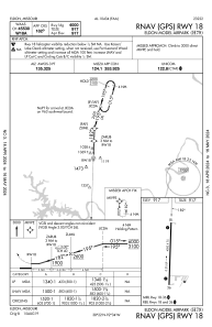
Runways:
| RWY identifier | QFU | Length (ft) | Width (ft) | Surface | LDA (ft) |
| 18 | 182° | 4000 | 75 | CONC | |
| 36 | 2° | 4000 | 75 | CONC |
Airport contact information
Address: Eldon United States