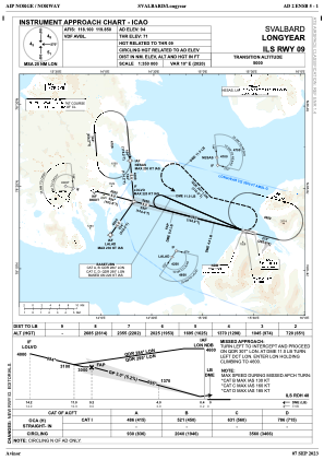


ENSB - Longyear
Located in Svalbard, Norway
ICAO - ENSB, IATA - LYR
Data provided by AirmateGeneral information
Coordinates: N78°14'46" E15°27'56"
Elevation is 94 feet MSL.
Magnetic variation is 9.9° East View others Airports in Svalbard
Operational data
Special qualification required
Current time UTC:
Current local time:
Weather
METAR: ENSB 141950Z VRB03KT 9999 FEW031 BKN094 02/M03 Q1004 RMK WIND 1400FT 10012KT
TAF: TAF ENSB 141700Z 1418/1518 13009KT 9999 FEW050 BKN100 BECMG 1506/1509 04012KT
Communications frequencies: [VIEW]
Runways:
| RWY identifier | QFU | Length (ft) | Width (ft) | Surface | LDA (ft) |
| 09 | 0° | 8127 | 148 | UNK | |
| 27 | 0° | 8127 | 148 | UNK |
Airport contact information
Address: Svalbard Norway