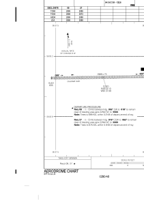


CZBD - Ilford
Located in , Canada
ICAO - CZBD, IATA - ILF
Data provided by AirmateGeneral information
Coordinates: N56°3'6" W95°37'5"
Elevation is 643 feet MSL.
Magnetic variation is 0.5108° East View others Airports in Manitoba
Operational data
Special qualification required
Current time UTC:
Current local time:
Weather at : CYGX - Gillam ( 66 km )
METAR: CYGX 190100Z 05014G25KT 15SM -RA FEW018 BKN026 04/01 A2971 RMK CF1SC7 CF TR SLP073
TAF: TAF CYGX 190040Z 1901/1913 04015G25KT P6SM SCT015 BKN030 TEMPO 1901/1906 BKN015 OVC030 BECMG 1901/1903 04020G30KT FM190600 03020G30KT P6SM OVC015 BECMG 1909/1911 5SM -RA BR OVC008 RMK NXT FCST BY 190700Z
Communications frequencies: [VIEW]
Runways:
| RWY identifier | QFU | Length (ft) | Width (ft) | Surface | LDA (ft) |
| 09 | 89° | 2989 | 75 | GRAVE | 2989 |
| 27 | 269° | 2989 | 75 | GRAVE | 2989 |
Airport contact information
Address: Canada